Acquisition & early concept
Context views, site relationships, early options, and visuals that reveal questions worth resolving.
Research-led visualization for the places people live, work, and share.
Topotecture helps architects, developers, and project teams make sense of drawings, site conditions, references, and evolving ideas. We organize what matters, ask the right questions, and translate it into precise, compelling visuals—so everyone can understand the proposal and its implications.
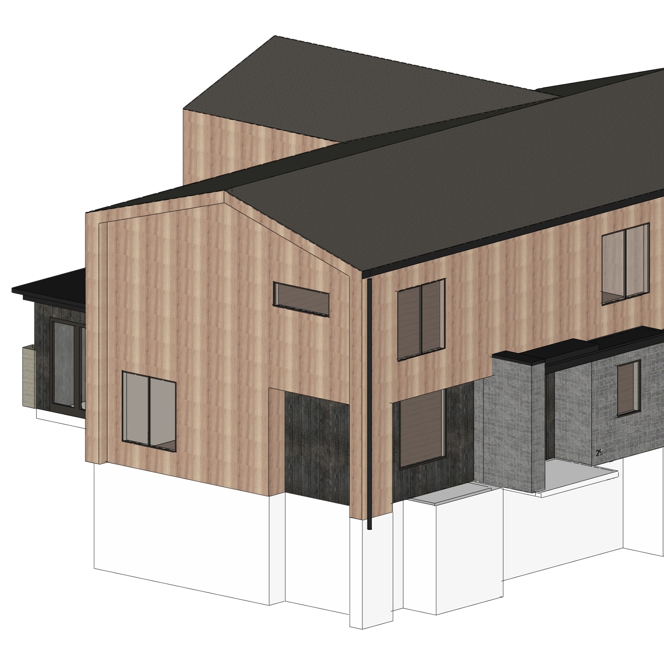
A project rarely arrives as a perfect model. It arrives as drawings, technical documents, photos, site constraints, and ideas that are still changing. I synthesize those inputs into a clear visual direction and flag questions that need the design team’s judgment.
The goal is visual accuracy with purpose: to make design intent, alternatives, and human experience easier to understand—not simply to make a proposal look impressive.
We identify the audience, project stage, and question your visuals need to answer.
I organize drawings, references, constraints, and missing information into a coherent brief.
I create targeted visuals that make the project easier to evaluate and explain.
Consolidated feedback becomes focused changes, with assumptions kept explicit.
Development rarely follows a straight line. We support the moments when spatial information needs to become understandable to someone new—from early exploration to communicating the finished experience.
Context views, site relationships, early options, and visuals that reveal questions worth resolving.
Before-and-after views, comparative studies, and accurate imagery for project teams and stakeholders.
Project, landscape, and amenity renderings that help non-designers understand the proposed experience.
Updated views and visual explanations when approved designs change or project communication needs evolve.
Visualization complements—not replaces—architectural, engineering, landscape architectural, permitting, or financial professional services.
Choose the scope that matches your stage. Start with a focused visual study, commission a complete presentation set, or keep an experienced visualization partner involved as the project evolves.
Your design has direction. Your audience needs to see and understand it.
I synthesize the supplied plans, model, context, and references into an accurate set of visuals tailored to design reviews, stakeholder communication, or marketing. We agree on assumptions and intended audience before modeling begins.
Explore an unresolved site, landscape, or spatial question before committing to a direction.
Use a focused visual study when the team needs to understand site relationships, circulation, landscape character, access, massing context, or a specific design tradeoff. The result is a concise, comparable set of options—not an open-ended design commission.
A consistent visual partner as decisions move from concept to approvals, marketing, and delivery.
I retain project context and support new presentation needs as the development evolves—so your team does not repeatedly rebuild its visual brief or onboard a different renderer.
Every proposal defines the source files, project area, number of views, and revision rounds. One revision round means one consolidated feedback list followed by one revised delivery. New properties, additional views, and later design changes are scoped separately.
Good visualization should make a proposal easier to judge—not hide its tradeoffs. We value credible context, thoughtful landscape representation, accessible communication, and honest discussion of what is decided versus still conceptual.
Every project starts with an input: a CAD drawing, site plan, construction document, rough model, or collection of references. My contribution is interpreting that information and turning it into a visual the next audience can understand. Selected examples below show the range of that work.
“You are way more accurate and better at doing this than my other design people.”
“Everyone I’ve showed the renderings to says they are amazing and asks who did them.”
“I can’t believe I haven’t been doing this with all my houses this entire time. I’m definitely doing it for all projects from here out.”
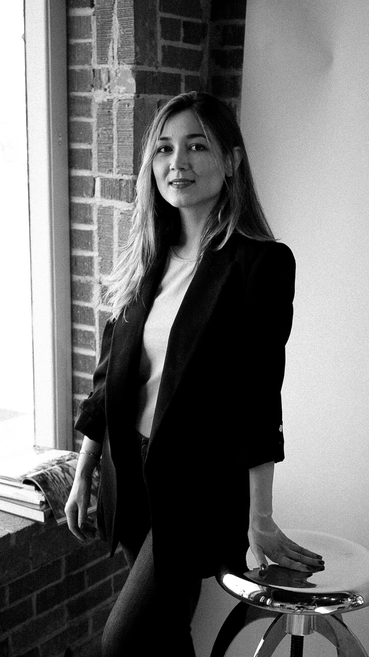
I work between technical drawings and human understanding—connecting design intent, site conditions, and the lived experience of a place.
I founded Topotecture with a background in landscape architecture and experience translating plans, construction documents, site information, and incomplete design inputs into clear visual stories. My approach brings research, synthesis, and spatial judgment to visualization, with a particular interest in landscapes and shared outdoor environments. I use AI selectively as a tool, while interpretation and decisions remain human-led.
Send your plans, references, or project question. Tell me who needs to understand the result—and I’ll propose a focused visual scope.
I will read what you sent and reply with either a simple scope or a short note asking for anything I need.